
Again and again we are asked “Is the tour also suitable for us? How difficult is it? Can I even do it?” Especially in the mountains it is not uncommon that people overestimate themselves or underestimate the tour.
Unfortunately, there is not yet a globally uniform system in this area. Also in Germany, Austria and Switzerland the various claim levels are not uniform.
Therefore you can find an overview of the different systems here.
German Alpine Club (DAV) mountain route classification
The DAV mountain path categories classify the claim similar to the ski slopes with blue (easy), red (medium) and black (difficult). However, the most difficult category covers a rather wide range of difficulties, where even easy climbing or longer via ferrata passages are nothing unusual.
| GRADE | terrain | MARKING |
|---|---|---|
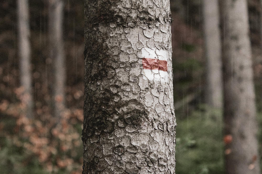
| Valley trails | Wide, easy to walk paths at the foot of the mountain. no danger of falling. | none |
| Easy mountain paths | Mostly narrow, but can be steep. Without dangerous passages. |  |
| Intermediate mountain paths | Mainly narrow, mostly steep and can contain passages that are dangerous to fall. Short secured (wire rope) walking passages may occur. |  |
| Difficult mountain paths | Are narrow, steep and dangerous to fall. Secured walking passages or simple climbing sections may occur. |  |
| Difficult alpine trekking | Pathless terrain with climbing sections up to II (UIAA). Very exposed with increased risk of slipping. | none |
Swiss Alpine Club (SAC) Trekking Scale
The SAC Trekking Scale was introduced in 2002 and is divided into six different grades: T1 (easiest) to T6 (most difficult) where “T” stands for “Trekking”. It thus replaces an older system, similar to the one used by the DAV, and now allows a finer subdivision, especially in the more challenging routes.
| Grade | TERRAIN | MARKING |
|---|---|---|
| T1 Trekking | Wide, easy to walk paths at the foot of the mountain. No danger of falling. |  |
| T2 Mountain trekking | Mostly narrow, but can be steep. Without dangerous passages. |  |
| T3 challenging mountain trekking | Mainly narrow, mostly steep and can contain passages that are dangerous to fall. Short secured (wire rope) walking passages may occur. | |
| T4 Alpine trekking | Path not necessarily recognizable. Partially the hands are needed to move forward. Terrain quite exposed. |  |
| T5 challenging alpine trekking | Pathless terrain with easy climbing sections. Exposed challenging terrain with danger of slipping. | |
| T6 difficult alpine trekking | Pathless terrain with climbing sections up to II (UIAA*). Very exposed with increased risk of slipping. | none |
*UIAA: common climbing route rating system in Central Europe

One Comment Add yours